Choose Which Site You Want To See


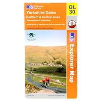
Ordnance Survey Survey Yorkshire Dales Map: Ordnance Survey Yorkshire Dales Map > Northern and Central areas Wensleydale and Swaledale -
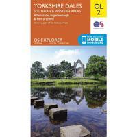
Explorer Ol 2 Yorkshire Dales - Southern & Western Areas Map: The essential map for outdoor activities in Yorkshire Dales - Southern & Western areas. The OS Explorer Map is the...

Ol 19 Explorer Howgill Fells And Upper Eden Valley Active Map: Map sheet number OL19 in the OS Explorer series covers Appleby-in-Westmorland, the Howgill Fells, Sedbergh, Upper Eden...
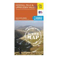
Ordnance Survey Ol 19 Explorer Howgill Fells And Upper Eden Valley Active Map, Orange: Map sheet number OL19 in the OS Explorer series covers Appleby-in-Westmorland, the Howgill Fells, Sedbergh, Upper Eden...

Ordnance Survey Explorer Ol 2 Yorkshire Dales - Southern & Western Areas Map, Orange: The essential map for outdoor activities in Yorkshire Dales - Southern & Western areas. The OS Explorer Map is the...

Ordnance Survey Explorer Ol2 Yorkshire Dales - Southern & Western Areas Map With Digital Version - Orange, Orange: The essential map for outdoor activities in Yorkshire Dales - Southern & Western areas. The OS Explorer Map is the...
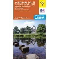
Ordnance Survey Explorer Ol2 Yorkshire Dales - Southern & Western Areas Map With Digital Version - Orange, Orange: The essential map for outdoor activities in Yorkshire Dales - Southern & Western areas. The OS Explorer Map is the...
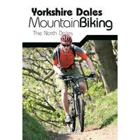
Vertebrate Graphics Yorkshire Dales Guide: The North Dales Find the best mountain biking routes, rides and trails in the northern half of the Yorkshire Dales with...

Ordnance Survey Explorer Active 459 Central Lewis & Stornaway Map With Digital Version, Orange: The essential map for outdoor activities in all weathers in Central Lewis and Stornaway. The OS Explorer Active Map is...

Ordnance Survey Explorer Active 459 Central Lewis & Stornaway Map With Digital Version, Orange: The essential map for outdoor activities in all weathers in Central Lewis and Stornaway. The OS Explorer Active Map is...
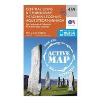
Explorer Active 459 Central Lewis & Stornaway Map With Digital Version: The essential map for outdoor activities in all weathers in Central Lewis and Stornaway. The OS Explorer Active Map is...
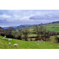
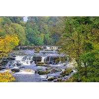
Full-day Yorkshire Dales Tour From York: Delve into the countryside and discover the delights of northern England on this full-day Yorkshire Dales tour from...

Full-day Yorkshire Dales Tour From York: Delve into the countryside and discover the delights of northern England on this full-day Yorkshire Dales tour from...

Active Explorer Ol 48 Ben Lawers & Glen Lyon Map: The Active Explorer OL 48 is a detailed weatherproof map which covers a wide area from Loch Lyon to Loch Tay. A...

Ordnance Survey Active Explorer Ol 48 Ben Lawers & Glen Lyon Map, Orange: The Active Explorer OL 48 is a detailed weatherproof map which covers a wide area from Loch Lyon to Loch Tay. A...
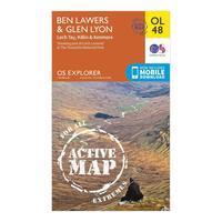
Ordnance Survey Active Explorer Ol 48 Ben Lawers & Glen Lyon Map, Orange: The Active Explorer OL 48 is a detailed weatherproof map which covers a wide area from Loch Lyon to Loch Tay. A...
Active Explorer Ol 47 Crieff, Comrie & Glen Artney Map: The Active Explorer OL 47 is a detailed weatherproof map which covers Crieff, Comrie and the surrounding areas...
The Yorkshire Dales Tour From Windermere: Explores the very best of the Yorkshire Dales in one day! This tour visits the spectacular Dales, taking in Swaledale...
