Choose Which Site You Want To See


Ordnance Survey Explorer Active Ol1 The Peak District - Dark Peak Area Map With Digital Version - Orange, Orange: Providing complete GB coverage, the OS Explorer map series details information essential in the great outdoors,...
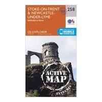
Ordnance Survey Explorer Active 258 Stoke-on-trent & Newcastle-under-lyme Map With Digital Version - Orange, Orange: Providing complete GB coverage, the OS Explorer map series details information essential in the great outdoors,...
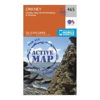
Ordnance Survey Explorer Active 465 Orkney - Sanday, Eday, North Ronaldsay & Stronsay Map With Digital Version - Orange, Orange: Providing complete GB coverage, the OS Explorer map series details information essential in the great outdoors,...

Ordnance Survey Explorer Active 236 King\'s Lynn, Downham Market & Swaffham Map With Digital Version - Orange, Orange: Providing complete GB coverage, the OS Explorer map series details information essential in the great outdoors,...
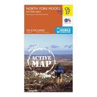
Ordnance Survey Explorer Active Ol 27 North York Moors - Eastern Area Map With Digital Version - Orange, Orange: Providing complete GB coverage, the OS Explorer map series details information essential in the great outdoors,...
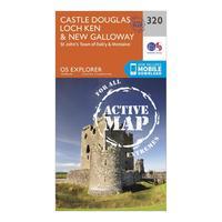
Ordnance Survey Explorer Active 320 Castle Douglas, Loch Ken & New Galloway Map With Digital Version - Orange, Orange: Providing complete GB coverage, the OS Explorer map series details information essential in the great outdoors,...
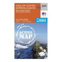
Ordnance Survey Explorer Active 264 Vale Of Clwyd, Rhyl, Denbigh & Ruthin Map With Digital Version - Orange, Orange: Providing complete GB coverage, the OS Explorer map series details information essential in the great outdoors,...

Ordnance Survey Explorer Active 287 West Pennine Moors, Blackburn, Darwen & Accrington Map With Digital Version - Orange, Orange: Providing complete GB coverage, the OS Explorer map series details information essential in the great outdoors,...
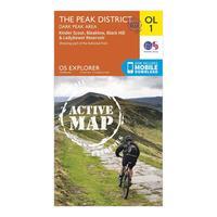
Ordnance Survey Explorer Active Ol1 The Peak District - Dark Peak Area Map With Digital Version - Orange, Orange: Providing complete GB coverage, the OS Explorer map series details information essential in the great outdoors,...
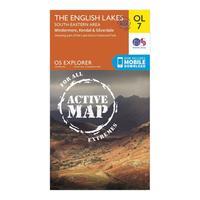
Ordnance Survey Explorer Active Ol7 The English Lakes - South Eastern Area Map With Digital Version - Orange, Orange: Providing complete GB coverage, the OS Explorer map series details information essential in the great outdoors,...

Explorer Ol 61 Active D Grantown-on-spey & Hills Of Cromdale Map: Map sheet number OL 61 in the detailed OS Explorer Map series covers the northern part of the Cairngorms National Park...

Ordnance Survey Explorer Ol 61 Active D Grantown-on-spey & Hills Of Cromdale Map, Orange: Map sheet number OL 61 in the detailed OS Explorer Map series covers the northern part of the Cairngorms National Park...
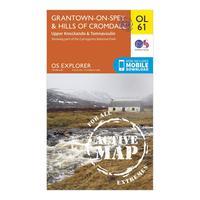
Ordnance Survey Explorer Ol 61 Active D Grantown-on-spey & Hills Of Cromdale Map, Orange: Map sheet number OL 61 in the detailed OS Explorer Map series covers the northern part of the Cairngorms National Park...

Ordnance Survey Explorer Ol47 Crieff, Comrie & Glen Artney Map With Digital Version - Orange, Orange: Providing complete GB coverage, the OS Explorer map series details information essential in the great outdoors,...
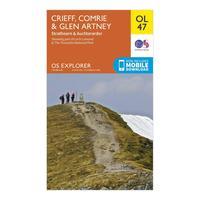
Ordnance Survey Explorer Ol47 Crieff, Comrie & Glen Artney Map With Digital Version - Orange, Orange: Providing complete GB coverage, the OS Explorer map series details information essential in the great outdoors,...
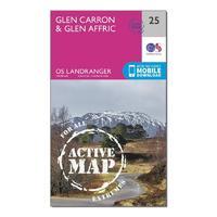
Landranger Active 25 Glen Carron & Glen Affric Map With Digital Version: The OS Landranger Map is the ideal map for planning the perfect day out. This best known national map series provides...
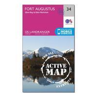
Landranger Active 34 Fort Augustus, Glen Roy & Glen Moriston Map With Digital Version: The OS Landranger Map is the ideal map for planning the perfect day out. This best known national map series provides...
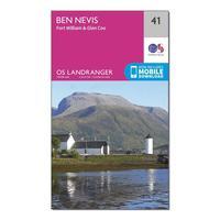
Ordnance Survey Landranger 41 Ben Nevis, Fort William & Glen Coe Map With Digital Version, Orange: The OS Landranger Map is the ideal map for planning the perfect day out. This best known national map series provides...

Ordnance Survey Landranger 41 Ben Nevis, Fort William & Glen Coe Map With Digital Version, Orange: The OS Landranger Map is the ideal map for planning the perfect day out. This best known national map series provides...
Explorer Active 287 West Pennine Moors, Blackburn, Darwen & Accrington Map With Digital Version: The essential map for outdoor activities in all weathers in West Pennine Moors, Blackburn, Darwen and Accrington. The...
