Choose Which Site You Want To See


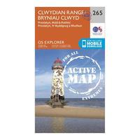
Ordnance Survey Explorer Active 265 Clwydian Range, Prestatyn, Mold & Ruthin Map With Digital Version - Orange, Orange: Providing complete GB coverage, the OS Explorer map series details information essential in the great outdoors,...
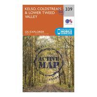
Ordnance Survey Explorer Active 339 Kelso, Coldstream & Lower Tweed Valley Map With Digital Version - Orange, Orange: Providing complete GB coverage, the OS Explorer map series details information essential in the great outdoors,...
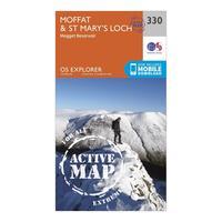
Ordnance Survey Explorer Active 330 Moffat & St Mary\'s Loch Map With Digital Version - Orange, Orange: Providing complete GB coverage, the OS Explorer map series details information essential in the great outdoors,...
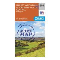
Ordnance Survey Explorer Active 294 Market Weighton & Yorkshire Wolds Central Map With Digital Version - Orange, Orange: Providing complete GB coverage, the OS Explorer map series details information essential in the great outdoors,...
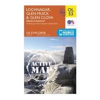
Ordnance Survey Explorer Active Ol53 Lochnagar, Glen Muick & Glen Clova Map With Digital Version - Orange, Orange: Providing complete GB coverage, the OS Explorer map series details information essential in the great outdoors,...
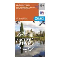
Ordnance Survey Explorer Active 136 High Weald & Royal Tunbridge Wells Map With Digital Version - Orange, Orange: Providing complete GB coverage, the OS Explorer map series details information essential in the great outdoors,...
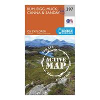
Ordnance Survey Explorer Active 397 Rum, Eigg, Muck, Canna & Sanday Map With Digital Version - Orange, Orange: Providing complete GB coverage, the OS Explorer map series details information essential in the great outdoors,...
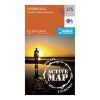
Ordnance Survey Explorer Active 275 Liverpool, St Helens, Widnes & Runcorn Map With Digital Version - Orange, Orange: Providing complete GB coverage, the OS Explorer map series details information essential in the great outdoors,...
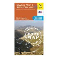
Ordnance Survey Explorer Active Ol19 Howgill Fells & Upper Eden Valley Map With Digital Version - Orange, Orange: Providing complete GB coverage, the OS Explorer map series details information essential in the great outdoors,...
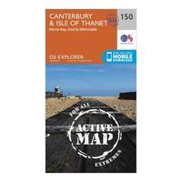
Ordnance Survey Explorer Active 150 Canterbury & The Isle Of Thanet Map With Digital Version - Orange, Orange: Providing complete GB coverage, the OS Explorer map series details information essential in the great outdoors,...
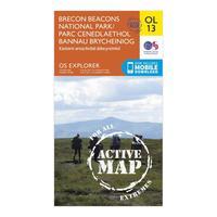
Ordnance Survey Explorer Active Brecon Beacons National Park - Eastern Area Map With Digital Version - Orange, Orange: Providing complete GB coverage, the OS Explorer map series details information essential in the great outdoors,...
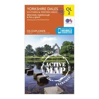
Ordnance Survey Explorer Active Ol2 Yorkshire Dales - Southern & Western Areas Map With Digital Version - Orange, Orange: Providing complete GB coverage, the OS Explorer map series details information essential in the great outdoors,...
\"glenrothes North, Falkland & Lomond Hills - Os Explorer Active Map Sheet Number 370\": Purchase the Glenrothes North, Falkland & Lomond Hills folded map: single-sided (boarded cover) from the OS Explorer...

\"glenrothes North, Falkland & Lomond Hills - Os Explorer Map Sheet Number 370\": Purchase the Glenrothes North, Falkland & Lomond Hills folded map: single-sided (boarded cover) from the OS Explorer...
Ordnance Survey Explorer Active Map Ol38 Loch Lomond South Map With Digital Version - Orange, Orange: The essential map for outdoor activities in all weathers in Loch Lomond South. The OS Explorer Active Map is the...

Ordnance Survey Explorer Active Map Ol38 Loch Lomond South Map With Digital Version - Orange, Orange: The essential map for outdoor activities in all weathers in Loch Lomond South. The OS Explorer Active Map is the...
Ordnance Survey Explorer Active 128 Taunton & Blackdown Hills Map With Digital Version, Orange: The essential map for outdoor activities in all weathers in Taunton and Blackdown Hills. The OS Explorer Active Map is...
Ordnance Survey Explorer Active 345 Lammermuir Hills Map With Digital Version, Orange: The essential map for outdoor activities in all weathers in Lammermuir Hills. The OS Explorer Active Map is the...
Ordnance Survey Explorer Active 344 Pentland Hills Map With Digital Version, Orange: The essential map for outdoor activities in all weathers in Pentland Hills. The OS Explorer Active Map is the Ordnance...
Ordnance Survey Explorer Active 335 Lanark & Tinto Hills Map With Digital Version, Orange: The essential map for outdoor activities in all weathers in Lanark and Tinto Hills. The OS Explorer Active Map is the...
