Choose Which Site You Want To See


Ordnance Survey Landranger 116 Denbigh & Colwyn Bay Map With Digital Version, Orange: The OS Landranger Map is the ideal map for planning the perfect day out. This best known national map series provides...
Ordnance Survey Landranger 101 Scarborough, Bridlington & Filey Map With Digital Version, Orange: The OS Landranger Map is the ideal map for planning the perfect day out. This best known national map series provides...
Ordnance Survey Landranger 102 Preston & Blackpool, Lytham Map With Digital Version, Orange: The OS Landranger Map is the ideal map for planning the perfect day out. This best known national map series provides...
Ordnance Survey Landranger 64 Glasgow, Motherwell & Airdrie Map With Digital Version, Orange: The OS Landranger Map is the ideal map for planning the perfect day out. This best known national map series provides...
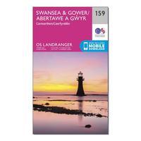
Ordnance Survey Landranger 159 Swansea & Gower, Carmarthen Map With Digital Version, Orange: The OS Landranger Map is the ideal map for planning the perfect day out. This best known national map series provides...
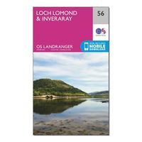
Ordnance Survey Landranger 56 Loch Lomond & Inveraray Map With Digital Version, Orange: The OS Landranger Map is the ideal map for planning the perfect day out. This best known national map series provides...
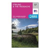
Ordnance Survey Landranger 57 Stirling & The Trossachs Map With Digital Version, Orange: The OS Landranger Map is the ideal map for planning the perfect day out. This best known national map series provides...
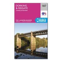
Ordnance Survey Landranger 187 Dorking, Reigate & Crawley Map With Digital Version, Orange: The OS Landranger Map is the ideal map for planning the perfect day out. This best known national map series provides...
Ordnance Survey Landranger 191 Okehampton & North Dartmoor Map With Digital Version, Orange: The OS Landranger Map is the ideal map for planning the perfect day out. This best known national map series provides...

Ordnance Survey Landranger 98 Wensleydale & Upper Wharfedale Map With Digital Version, Orange: The OS Landranger Map is the ideal map for planning the perfect day out. This best known national map series provides...
Ordnance Survey Landranger 14 Tarbert & Loch Seaforth Map With Digital Version, Orange: The OS Landranger Map is the ideal map for planning the perfect day out. This best known national map series provides...

Ordnance Survey Explorer 150 Canterbury & Isle Of Thanet Map With Digital Version - Orange, Orange: The essential map for outdoor activities in Canterbury and Isle of Thanet. The OS Explorer Map is the Ordnance...
Ordnance Survey Explorer 362 Cowal West & Isle Of Bute Map With Digital Version - Orange, Orange: The essential map for outdoor activities in Cowal West and Isle of Bute. The OS Explorer Map is the Ordnance Survey\'s...
Ordnance Survey Explorer Ol29 Isle Of Wight Map With Digital Version - Orange, Orange: The essential map for outdoor activities in the Isle of Wight. The OS Explorer Map is the Ordnance Survey\'s most...

Ordnance Survey Explorer 362 Cowal West & Isle Of Bute Map With Digital Version - Orange, Orange: The essential map for outdoor activities in Cowal West and Isle of Bute. The OS Explorer Map is the Ordnance Survey\'s...

Ordnance Survey Explorer Ol29 Isle Of Wight Map With Digital Version - Orange, Orange: The essential map for outdoor activities in the Isle of Wight. The OS Explorer Map is the Ordnance Survey\'s most...
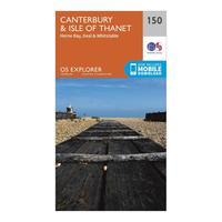
Ordnance Survey Explorer 150 Canterbury & Isle Of Thanet Map With Digital Version - Orange, Orange: The essential map for outdoor activities in Canterbury and Isle of Thanet. The OS Explorer Map is the Ordnance...
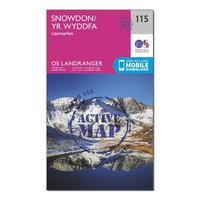
Ordnance Survey Landranger Active 115 Snowdon & Caernarfon Map With Digital Version - Orange, Orange: The OS Landranger Map Active is tough, durable and weatherproof. The maps are covered in a lightweight protective...
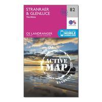
Ordnance Survey Landranger Active 82 Stranraer & Glenluce Map With Digital Version - Orange, Orange: The OS Landranger Map Active is tough, durable and weatherproof. The maps are covered in a lightweight protective...
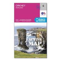
Ordnance Survey Landranger Active 6 Orkney Mainland Map With Digital Version - Orange, Orange: The OS Landranger Map Active is tough, durable and weatherproof. The maps are covered in a lightweight protective...
