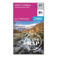
Ordnance Survey Landranger Active 89 West Cumbria, Cockermouth & ...
Ordnance Survey Landranger Active 89 West Cumbria, Cockermouth & Wast Water Map With Digital Version - Orange, Orange: The OS Landranger Map is the ideal map for planning the perfect day out. This best known national map series provides...
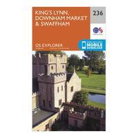
Ordnance Survey Explorer 236 King\'s Lynn, Downham Market & Swaff...
Ordnance Survey Explorer 236 King\'s Lynn, Downham Market & Swaffham Map With Digital Version, Orange: The essential map for outdoor activities in King\'s Lynn, Downham Market and Swaffham. The OS Explorer Map is the...
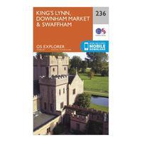
Ordnance Survey Explorer 236 King\'s Lynn, Downham Market & Swaff...
Ordnance Survey Explorer 236 King\'s Lynn, Downham Market & Swaffham Map With Digital Version, Orange: The essential map for outdoor activities in King\'s Lynn, Downham Market and Swaffham. The OS Explorer Map is the...
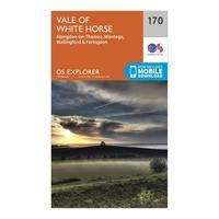
Ordnance Survey Explorer 170 Abingdon, Wantage & Vale Of White Ho...
Ordnance Survey Explorer 170 Abingdon, Wantage & Vale Of White Horse Map With Digital Version, Orange: The essential map for outdoor activities in Abingdon, Wantage and Vale of White Horse. The OS Explorer Map is the...
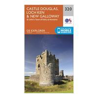
Ordnance Survey Explorer 320 Castle Douglas, Loch Ken & New Gallo...
Ordnance Survey Explorer 320 Castle Douglas, Loch Ken & New Galloway Map With Digital Version, Orange: The essential map for outdoor activities in Castle Douglas, Loch Ken and New Galloway. The OS Explorer Map is the...
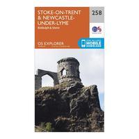
Ordnance Survey Explorer 258 Stoke-on-trent & Newcastle-under-lym...
Ordnance Survey Explorer 258 Stoke-on-trent & Newcastle-under-lyme Map With Digital Version, Orange: The essential map for outdoor activities in Stoke-on-Trent and Newcastle-under-Lyme. The OS Explorer Map is the...
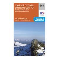
Ordnance Survey Explorer 264 Vale Of Clwyd, Rhyl, Denbigh & Ruthi...
Ordnance Survey Explorer 264 Vale Of Clwyd, Rhyl, Denbigh & Ruthin Map With Digital Version, Orange: The essential map for outdoor activities in Vale of Clwyd, Rhyl, Denbigh and Ruthin. The OS Explorer Map is the...
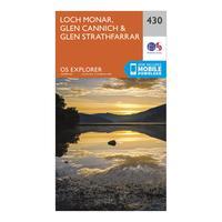
Ordnance Survey Explorer 430 Loch Monar, Glen Cannich & Glen Stra...
Ordnance Survey Explorer 430 Loch Monar, Glen Cannich & Glen Strathfarrar Map With Digital Version, Orange: The essential map for outdoor activities in Loch Monar, Glen Cannich and Glen Strathfarrar. The OS Explorer Map is the...
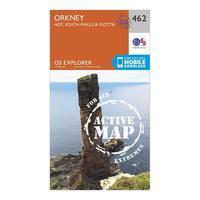
Ordnance Survey Explorer Active 462 Orkney - Hoy, South Walls & F...
Ordnance Survey Explorer Active 462 Orkney - Hoy, South Walls & Flotta Map With Digital Version, Orange: The essential map for outdoor activities in all weathers in Orkney - Hoy, South Walls & Flotta. The OS Explorer Active...
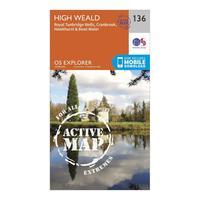
Ordnance Survey Explorer Active 136 High Weald & Royal Tunbridge ...
Ordnance Survey Explorer Active 136 High Weald & Royal Tunbridge Wells Map With Digital Version, Orange: The essential map for outdoor activities in all weathers in High Weald and Royal Tunbridge Wells. The OS Explorer...
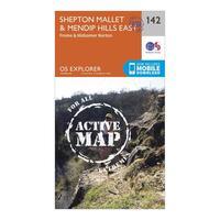
Ordnance Survey Explorer Active 142 Shepton Mallet & Mendip Hills...
Ordnance Survey Explorer Active 142 Shepton Mallet & Mendip Hills East Map With Digital Version, Orange: The essential map for outdoor activities in all weathers in Shepton Mallet and Mendip Hills East. The OS Explorer...
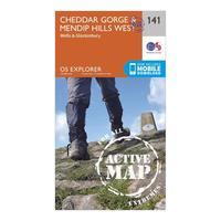
Ordnance Survey Explorer Active 141 Cheddar Gorge & Mendip Hills ...
Ordnance Survey Explorer Active 141 Cheddar Gorge & Mendip Hills West Map With Digital Version, Orange: The essential map for outdoor activities in all weathers in Cheddar Gorge and Mendip Hills West. The OS Explorer Active...
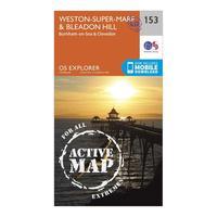
Ordnance Survey Explorer Active 153 Weston-super-mare & Bleadon H...
Ordnance Survey Explorer Active 153 Weston-super-mare & Bleadon Hill Map With Digital Version, Orange: The essential map for outdoor activities in all weathers in Weston-Super-Mare and Bleadon Hill. The OS Explorer Active...
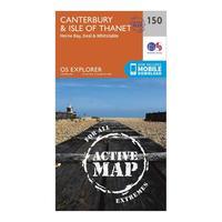
Ordnance Survey Explorer Active 150 Canterbury & The Isle Of Than...
Ordnance Survey Explorer Active 150 Canterbury & The Isle Of Thanet Map With Digital Version, Orange: The essential map for outdoor activities in all weathers in Canterbury and The Isle of Thanet. The OS Explorer Active...
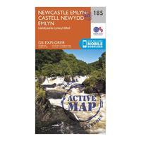
Ordnance Survey Explorer Active 185 Newcastle Emlyn, Llandysul & ...
Ordnance Survey Explorer Active 185 Newcastle Emlyn, Llandysul & Cynwyl Elfed Map With Digital Version, Orange: The essential map for outdoor activities in all weathers in Newcastle Emlyn, Llandysul and Cynwyl Elfed. The OS...
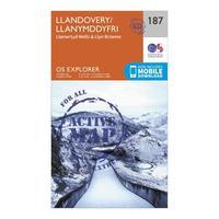
Ordnance Survey Explorer Active 187 Llandovery, Llanwrtyd Wells &...
Ordnance Survey Explorer Active 187 Llandovery, Llanwrtyd Wells & Lyn Brianne Map With Digital Version, Orange: The essential map for outdoor activities in all weathers in Llandovery, Llanwrtyd Wells and Lyn Brianne. The OS...
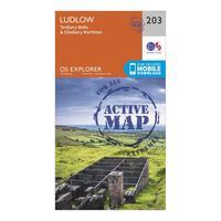
Ordnance Survey Explorer Active 203 Ludlow, Tenbury Wells & Cleob...
Ordnance Survey Explorer Active 203 Ludlow, Tenbury Wells & Cleobury Mortimer Map With Digital Version, Orange: The essential map for outdoor activities in all weathers in Ludlow, Tenbury Wells and Cleobury Mortimer. The OS...
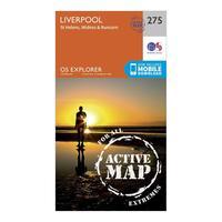
Ordnance Survey Explorer Active 275 Liverpool, St Helens, Widnes ...
Ordnance Survey Explorer Active 275 Liverpool, St Helens, Widnes & Runcorn Map With Digital Version, Orange: The essential map for outdoor activities in all weathers in Liverpool, St Helens, Widnes and Runcorn. The OS Explorer...
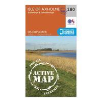
Ordnance Survey Explorer Active 280 Isle Of Axholme, Scunthorpe &...
Ordnance Survey Explorer Active 280 Isle Of Axholme, Scunthorpe & Gainsborough Map With Digital Version, Orange: The essential map for outdoor activities in all weathers in Isle of Axholme, Scunthorpe and Gainsborough. The OS...
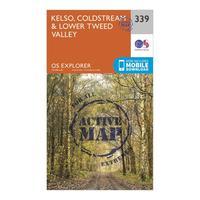
Ordnance Survey Explorer Active 339 Kelso, Coldstream & Lower Twe...
Ordnance Survey Explorer Active 339 Kelso, Coldstream & Lower Tweed Valley Map With Digital Version, Orange: The essential map for outdoor activities in all weathers in Kelso, Coldstream and Lower Tweed Valley. The OS Explorer...


