Choose Which Site You Want To See


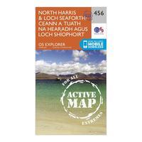
Ordnance Survey Explorer Active 284 North Harris & Loch Seaforth Map With Digital Version, Orange: The essential map for outdoor activities in all weathers in North Harris and Loch Seaforth. The OS Explorer Active Map...
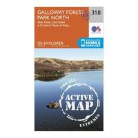
Ordnance Survey Explorer Active 318 Galloway Forest Park North Map With Digital Version, Orange: The essential map for outdoor activities in all weathers in Galloway Forest Park North. The OS Explorer Active Map is...
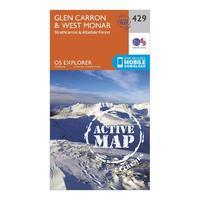
Ordnance Survey Explorer Active 429 Glen Carron & West Monar Map With Digital Version, Orange: The essential map for outdoor activities in all weathers in Glen Carron and West Monar. The OS Explorer Active Map is...
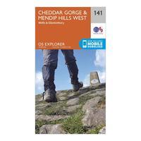
Ordnance Survey Explorer 141 Cheddar Gorge & Mendip Hills West Map With Digital Version, Orange: The essential map for outdoor activities in Cheddar Gorge and Mendip Hills West. The OS Explorer Map is the Ordnance...

Ordnance Survey Explorer 141 Cheddar Gorge & Mendip Hills West Map With Digital Version, Orange: The essential map for outdoor activities in Cheddar Gorge and Mendip Hills West. The OS Explorer Map is the Ordnance...
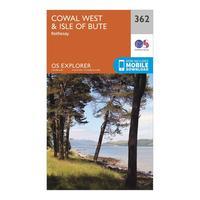
Ordnance Survey Explorer 362 Cowal West & Isle Of Bute Map With Digital Version - Orange, Orange: The essential map for outdoor activities in Cowal West and Isle of Bute. The OS Explorer Map is the Ordnance Survey\'s...

Ordnance Survey Explorer 362 Cowal West & Isle Of Bute Map With Digital Version - Orange, Orange: The essential map for outdoor activities in Cowal West and Isle of Bute. The OS Explorer Map is the Ordnance Survey\'s...
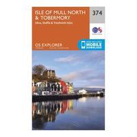
Ordnance Survey Explorer 374 Isle Of Mull North & Tobermory Map With Digital Version, Orange: The essential map for outdoor activities in Isle of Mull North and Tobermory. The OS Explorer Map is the Ordnance...
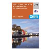
Ordnance Survey Explorer 374 Isle Of Mull North & Tobermory Map With Digital Version, Orange: The essential map for outdoor activities in Isle of Mull North and Tobermory. The OS Explorer Map is the Ordnance...

Ordnance Survey Explorer Ol4 The English Lakes - North Western Area With Digital Version - Orange, Orange: The essential map for outdoor activities in The English Lakes - North Western area. The OS Explorer Map is the Ordnance...
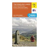
Ordnance Survey Explorer Ol4 The English Lakes - North Western Area With Digital Version - Orange, Orange: The essential map for outdoor activities in The English Lakes - North Western area. The OS Explorer Map is the Ordnance...
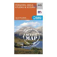
Ordnance Survey Explorer Active 445 Foinaven, Arkle, Kylesku & Scourie Map With Digital Version, Orange: The essential map for outdoor activities in all weathers in Foinaven, Arkle, Kylesku and Scourie. The OS Explorer...
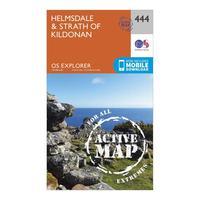
Ordnance Survey Explorer Active 444 Helmsdale & Strath Of Kildonan Map With Digital Version, Orange: The essential map for outdoor activities in all weathers in Helmsdale and Strath of Kildonan. The OS Explorer Active...
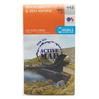
Ordnance Survey Explorer Active 443 Ben Klibreck & Ben Armine Map With Digital Version, Orange: The essential map for outdoor activities in all weathers in Ben Klibreck and Ben Armine. The OS Explorer Active Map is...
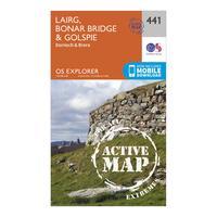
Ordnance Survey Explorer Active 441 Lairg, Bonar Bridge & Golspie Map With Digital Version, Orange: The essential map for outdoor activities in all weathers in Lairg, Bonar Bridge and Golspie. The OS Explorer Active Map...
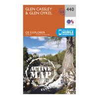
Ordnance Survey Explorer Active 440 Glen Cassley & Glen Oykel Map With Digital Version, Orange: The essential map for outdoor activities in all weathers in Glen Cassley and Glen Oykel. The OS Explorer Active Map is...
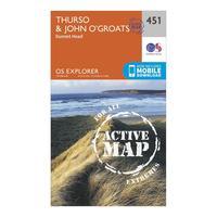
Ordnance Survey Explorer Active 451 Thurso & John O\'grates Map With Digital Version, Orange: The essential map for outdoor activities in all weathers in Thurso and John o\'Grates. The OS Explorer Active Map is...
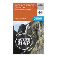
Ordnance Survey Explorer Active 450 Wick & The Flow Country Map With Digital Version, Orange: The essential map for outdoor activities in all weathers in Wick and The Flow Country. The OS Explorer Active Map is...
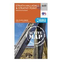
Ordnance Survey Explorer Active 449 Strath Halladale & Strathy Point Map With Digital Version, Orange: The essential map for outdoor activities in all weathers in Strath Halladale and Strathy Point. The OS Explorer Active...
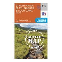
Ordnance Survey Explorer Active 448 Strath Naver & Loch Loyal Map With Digital Version, Orange: The essential map for outdoor activities in all weathers in Strath Naver and Loch Loyal. The OS Explorer Active Map is...
