Choose Which Site You Want To See


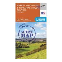
Ordnance Survey Explorer Active 294 Market Weighton & Yorkshire Wolds Central Map With Digital Version - Orange, Orange: Providing complete GB coverage, the OS Explorer map series details information essential in the great outdoors,...
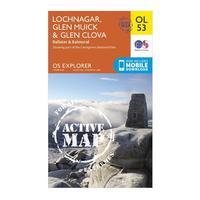
Ordnance Survey Explorer Active Ol53 Lochnagar, Glen Muick & Glen Clova Map With Digital Version - Orange, Orange: Providing complete GB coverage, the OS Explorer map series details information essential in the great outdoors,...
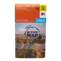
Ordnance Survey Explorer Active Ol26 North York Moors - Western Area Map With Digital Version - Orange, Orange: Providing complete GB coverage, the OS Explorer map series details information essential in the great outdoors,...
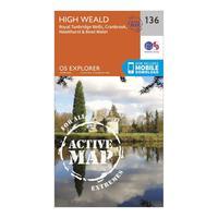
Ordnance Survey Explorer Active 136 High Weald & Royal Tunbridge Wells Map With Digital Version - Orange, Orange: Providing complete GB coverage, the OS Explorer map series details information essential in the great outdoors,...
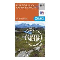
Ordnance Survey Explorer Active 397 Rum, Eigg, Muck, Canna & Sanday Map With Digital Version - Orange, Orange: Providing complete GB coverage, the OS Explorer map series details information essential in the great outdoors,...
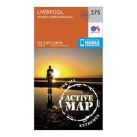
Ordnance Survey Explorer Active 275 Liverpool, St Helens, Widnes & Runcorn Map With Digital Version - Orange, Orange: Providing complete GB coverage, the OS Explorer map series details information essential in the great outdoors,...
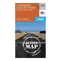
Ordnance Survey Explorer Active 150 Canterbury & The Isle Of Thanet Map With Digital Version - Orange, Orange: Providing complete GB coverage, the OS Explorer map series details information essential in the great outdoors,...
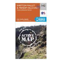
Ordnance Survey Explorer Active 142 Shepton Mallet & Mendip Hills East Map With Digital Version - Orange, Orange: Providing complete GB coverage, the OS Explorer map series details information essential in the great outdoors,...
Ordnance Survey Explorer Active Brecon Beacons National Park - Eastern Area Map With Digital Version - Orange, Orange: Providing complete GB coverage, the OS Explorer map series details information essential in the great outdoors,...
Ordnance Survey Explorer Active Ol2 Yorkshire Dales - Southern & Western Areas Map With Digital Version - Orange, Orange: Providing complete GB coverage, the OS Explorer map series details information essential in the great outdoors,...
Ordnance Survey Explorer Active 362 Cowal West & Isle Of Bute Map With Digital Version - Orange, Orange: Providing complete GB coverage, the OS Explorer map series details information essential in the great outdoors,...

Ordnance Survey Explorer Active 362 Cowal West & Isle Of Bute Map With Digital Version - Orange, Orange: Providing complete GB coverage, the OS Explorer map series details information essential in the great outdoors,...

Ordnance Survey Explorer Active 339 Kelso, Coldstream & Lower Tweed Valley Map With Digital Version, Orange: The essential map for outdoor activities in all weathers in Kelso, Coldstream and Lower Tweed Valley. The OS Explorer...
Ordnance Survey Explorer Active 339 Kelso, Coldstream & Lower Tweed Valley Map With Digital Version, Orange: The essential map for outdoor activities in all weathers in Kelso, Coldstream and Lower Tweed Valley. The OS Explorer...
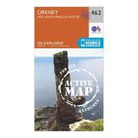
Ordnance Survey Explorer Active 462 Orkney - Hoy, South Walls & Flotta Map With Digital Version, Orange: The essential map for outdoor activities in all weathers in Orkney - Hoy, South Walls & Flotta. The OS Explorer Active...

Ordnance Survey Explorer Active 136 High Weald & Royal Tunbridge Wells Map With Digital Version, Orange: The essential map for outdoor activities in all weathers in High Weald and Royal Tunbridge Wells. The OS Explorer...

Ordnance Survey Explorer Active 142 Shepton Mallet & Mendip Hills East Map With Digital Version, Orange: The essential map for outdoor activities in all weathers in Shepton Mallet and Mendip Hills East. The OS Explorer...
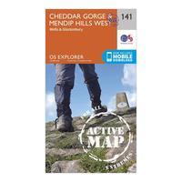
Ordnance Survey Explorer Active 141 Cheddar Gorge & Mendip Hills West Map With Digital Version, Orange: The essential map for outdoor activities in all weathers in Cheddar Gorge and Mendip Hills West. The OS Explorer Active...
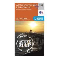
Ordnance Survey Explorer Active 153 Weston-super-mare & Bleadon Hill Map With Digital Version, Orange: The essential map for outdoor activities in all weathers in Weston-Super-Mare and Bleadon Hill. The OS Explorer Active...

Ordnance Survey Explorer Active 150 Canterbury & The Isle Of Thanet Map With Digital Version, Orange: The essential map for outdoor activities in all weathers in Canterbury and The Isle of Thanet. The OS Explorer Active...
