Choose Which Site You Want To See


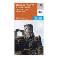
Ordnance Survey Explorer 258 Stoke-on-trent & Newcastle-under-lyme Map With Digital Version - Orange, Orange: The essential map for outdoor activities in Stoke-on-Trent andNewcastle-under-Lyme. The OS Explorer Map is the Ordnance...
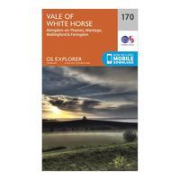
Ordnance Survey Explorer 170 Abingdon, Wantage & Vale Of White Horse Map With Digital Version - Orange, Orange: The essential map for outdoor activities in Abingdon, Wantage andVale of White Horse. The OS Explorer Map is the...
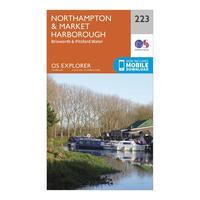
Ordnance Survey Explorer 223 Northampton, Market Harborough, Brixworth & Pitsford Water Map With Digital Version - Orange, Orange: The essential map for outdoor activities in Northampton, Market Harborough, Brixworth andPitsford Water. The OS...

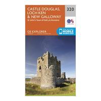
Ordnance Survey Explorer 320 Castle Douglas, Loch Ken & New Galloway Map With Digital Version - Orange, Orange: The essential map for outdoor activities in Castle Douglas, Loch Ken andNew Galloway. The OS ExplorerMap is the...
Ordnance Survey Explorer 320 Castle Douglas, Loch Ken & New Galloway Map With Digital Version - Orange, Orange: The essential map for outdoor activities in Castle Douglas, Loch Ken andNew Galloway. The OS ExplorerMap is the...
Ordnance Survey Explorer 465 Orkney - Sanday, Eday, North Ronaldsay & Stronsay Map Book - Colour: 465: Explorer 465 Orkney - Sanday, Eday, North Ronaldsay & Stronsay Map...
Ordnance Survey Explorer Ol15 Purbeck & South Dorset Map With Digital Version - Orange, Orange: Providing complete GB coverage, the OS Explorer map series details information essential in the great outdoors,...

Ordnance Survey Explorer Ol15 Purbeck & South Dorset Map With Digital Version - Orange, Orange: Providing complete GB coverage, the OS Explorer map series details information essential in the great outdoors,...

Ordnance Survey Explorer Ol 3 Active D Meon Valley Map, Orange: Map sheet number OL 3 in the detailed OS Explorer weatherproof Map series gives you the tools to discover the wealth of...
Ordnance Survey Explorer Ol 3 Active D Meon Valley Map, Orange: Map sheet number OL 3 in the detailed OS Explorer weatherproof Map series gives you the tools to discover the wealth of...
Ordnance Survey Explorer Ol 34 Active D Crawley & Horsham Map, Orange: Map sheet number OL 34 in the detailed OS Explorer Map series covers Horsham, Cranleigh, Crawley and Billinghurst. The...

Ordnance Survey Explorer Ol 34 Active D Crawley & Horsham Map, Orange: Map sheet number OL 34 in the detailed OS Explorer Map series covers Horsham, Cranleigh, Crawley and Billinghurst. The...

Ordnance Survey Explorer Ol 21 Active D South Pennies Map, Orange: Map sheet number OL 21 in the detailed OS Explorer weatherproof Map series covers a beautiful area of the Pennines and...
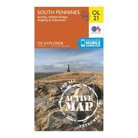
Ordnance Survey Explorer Ol 21 Active D South Pennies Map, Orange: Map sheet number OL 21 in the detailed OS Explorer weatherproof Map series covers a beautiful area of the Pennines and...

Ordnance Survey Explorer Ol 51 Active D Atholl Map, Orange: Map sheet number OL 50 in the detailed OS Explorer Map series covers part of the Cairngorms National Park and ten...
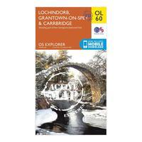
Ordnance Survey Explorer Ol 60 Active D Lochindorb, Grantown-on-sprey & Carrbridge Map, Orange: Map sheet number OL 60 in the detailed OS Explorer Map series covers the north-western area of the Cairngorms National...
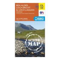
Ordnance Survey Explorer Ol 50 Active D Ben Alder, Loch Ericht & Loch Laggan Map, Orange: Map sheet number OL 50 in the detailed OS Explorer Map series is the ideal companion for those looking to discover Loch...
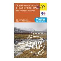
Ordnance Survey Explorer Ol 61 Active D Grantown-on-spey & Hills Of Cromdale Map, Orange: Map sheet number OL 61 in the detailed OS Explorer Map series covers the northern part of the Cairngorms National Park...

Ordnance Survey Explorer Ol 50 Active D Ben Alder, Loch Ericht & Loch Laggan Map, Orange: Map sheet number OL 50 in the detailed OS Explorer Map series is the ideal companion for those looking to discover Loch...
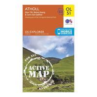
Ordnance Survey Explorer Ol 51 Active D Atholl Map, Orange: Map sheet number OL 50 in the detailed OS Explorer Map series covers part of the Cairngorms National Park and ten...
