Choose Which Site You Want To See


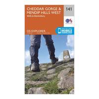
Ordnance Survey Explorer 141 Cheddar Gorge & Mendip Hills West Map With Digital Version, Orange: The essential map for outdoor activities in Cheddar Gorge and Mendip Hills West. The OS Explorer Map is the Ordnance...
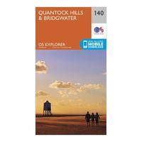
Ordnance Survey Explorer 140 Quantock Hills & Bridgwater Map With Digital Version, Orange: The essential map for outdoor activities in Quantock Hills and Bridgwater. The OS Explorer Map is the Ordnance...
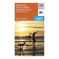
Ordnance Survey Explorer 139 Bideford, Ilfracombe & Barnstaple Map With Digital Version, Orange: The essential map for outdoor activities in Bideford, Ilfracombe and Barnstaple. The OS Explorer Map is the Ordnance...
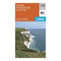
Ordnance Survey Explorer 138 Dover, Folkestone & Hythe Map With Digital Version, Orange: The essential map for outdoor activities in Dover, Folkestone and Hythe. The OS Explorer Map is the Ordnance Survey\'s...
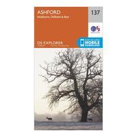
Ordnance Survey Explorer 137 Ashford Map With Digital Version, Orange: The essential map for outdoor activities in Ashford. The OS Explorer Map is the Ordnance Survey\'s most detailed...
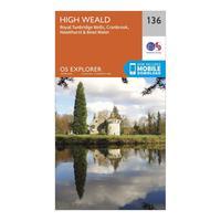
Ordnance Survey Explorer 136 High Weald Map With Digital Version, Orange: The essential map for outdoor activities in High Weald. The OS Explorer Map is the Ordnance Survey\'s most detailed...
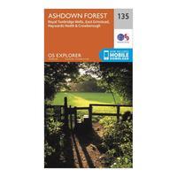
Ordnance Survey Explorer 135 Ashdown Forest Map With Digital Version, Orange: The essential map for outdoor activities in Ashdown Forest. The OS Explorer Map is the Ordnance Survey\'s most detailed...
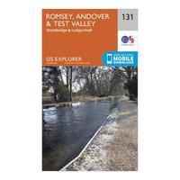
Ordnance Survey Explorer 131 Romsey, Andover & Test Valley Map With Digital Version, Orange: The essential map for outdoor activities in Romsey, Andover and Test Valley. The OS Explorer Map is the Ordnance...
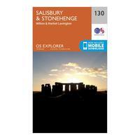
Ordnance Survey Explorer 130 Salisbury & Stonehenge Map With Digital Version, Orange: The essential map for outdoor activities in Salisbury and Stonehenge. The OS Explorer Map is the Ordnance Survey\'s...
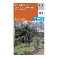
Ordnance Survey Explorer 128 Taunton & Blackdown Hills Map With Digital Version, Orange: The essential map for outdoor activities in Taunton and Blackdown Hills. The OS Explorer Map is the Ordnance Survey\'s...
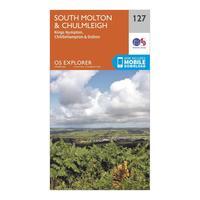
Ordnance Survey Explorer 127 South Molton & Chulmleigh Map With Digital Version, Orange: The essential map for outdoor activities in South Molton and Chulmleigh. The OS Explorer Map is the Ordnance Survey\'s...
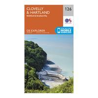
Ordnance Survey Explorer 126 Clovelly & Hartland Map With Digital Version, Orange: The essential map for outdoor activities in Clovelly and Hartland. The OS Explorer Map is the Ordnance Survey\'s most...
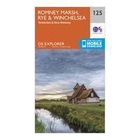
Ordnance Survey Explorer 125 Romney Marsh, Rye & Winchelsea Map With Digital Version, Orange: The essential map for outdoor activities in Romney Marsh, Rye and Winchelsea. The OS Explorer Map is the Ordnance...
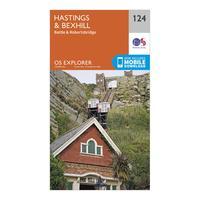
Ordnance Survey Explorer 124 Hastings & Bexhill Map With Digital Version, Orange: The essential map for outdoor activities in Hastings and Bexhill. The OS Explorer Map is the Ordnance Survey\'s most...
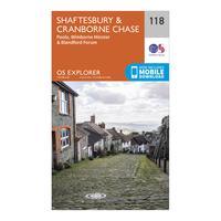
Ordnance Survey Explorer 118 Shaftesbury & Cranborne Chase Map With Digital Version, Orange: The essential map for outdoor activities in Shaftesbury and Cranborne Chase. The OS Explorer Map is the Ordnance...
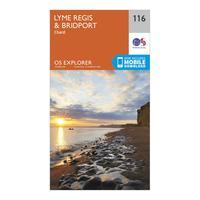
Ordnance Survey Explorer 116 Lyme Regis & Bridport Map With Digital Version, Orange: The essential map for outdoor activities in Lyme Regis and Bridport. The OS Explorer Map is the Ordnance Survey\'s most...
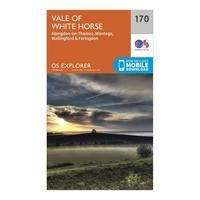
Ordnance Survey Explorer 170 Abingdon, Wantage & Vale Of White Horse Map With Digital Version, Orange: The essential map for outdoor activities in Abingdon, Wantage and Vale of White Horse. The OS Explorer Map is the...
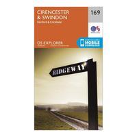
Ordnance Survey Explorer 169 Cirencester & Swindon Map With Digital Version, Orange: The essential map for outdoor activities in Cirencester and Swindon. The OS Explorer Map is the Ordnance Survey\'s most...
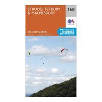
Ordnance Survey Explorer 168 Stroud, Tetbury & Malmesbury Map With Digital Version, Orange: The essential map for outdoor activities in Stroud, Tetbury and Malmesbury. The OS Explorer Map is the Ordnance...
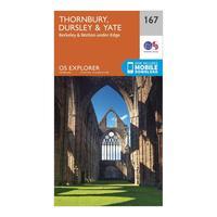
Ordnance Survey Explorer 167 Thornbury, Dursley & Yate Map With Digital Version, Orange: The essential map for outdoor activities in Thornbury, Dursley and Yate. The OS Explorer Map is the Ordnance Survey\'s...
