Choose Which Site You Want To See


Dobe The Switch Joy - Con Small Hands Hold The Ns Control Joystick Game Put Two Tns - 851: Model:TNS-851; Accessory Type:Attachments; Material:ABS; Brand:DOBE; For:Nintendo Switch; Features:Gaming Handle;...

Dobe For Switch Disc Game Card Box To Receive Tns - 857: Model:TNS-857; What\'s in the box:Holder; Accessory Type:Accessory Kits; Standby Time (hrs):1; Working Time (hrs):1;...

Dobe Switch Multifunctional Charging Base Ns Disc Receive Stents Tns - 871: Model:TNS-871; What\'s in the box:Charging Base; Accessory Type:Batteries and Chargers; Standby Time (hrs):1; Working...

Marc Jacobs Sunglasses Marc 49/s Tns/gb: These authentic Marc Jacobs MARC 49/S TNS/GB Sunglasses have Black Havana Polyamide frames and are available at a...

Ordnance Survey Explorer 208 Bedford & St Neots Map, Orange: With the 1:25000 scale Ordnance Survey Explorer 208 Bedford & St Neots Map you are sure to find all the best walks,...
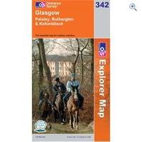
Ordnance Survey Explorer 342 Glasgow Map Book - Colour: 342: Ordnance Survey Map - Explorer- Glasgow:Created by the trusted brand of the Ordnance Survey, this series of map focuses...

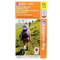
Ordnance Survey Survey Brecon Beacons Western Map: Ordnance Survey Brecon Beacons Western Map > Brecon Beacons Natinal park western areas map > The Essesntial map for...
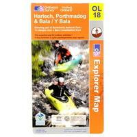
Ordnance Survey Survey Harlech, Porthmadog And Bala Map: Ordnance Survey Harlech, Porthmadog and Bala Map > Showing part of Snowdonia National Park -
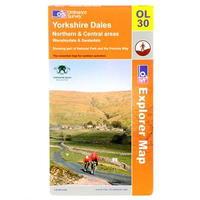
Ordnance Survey Survey Yorkshire Dales Map: Ordnance Survey Yorkshire Dales Map > Northern and Central areas Wensleydale and Swaledale -
Ordnance Survey Survey Brecon Beacons Eastern Map: Ordnance Survey Brecon Beacons Eastern Map > Brecon Beacons national park/ Parc Cenedlaethol Bannau Brycheiniog >...
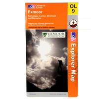
Ordnance Survey Survey Exmoor Map: Ordnance Survey Exmoor Map >1:25 000 (4 cm to 1 km, 2½ inches to 1 mile) >1270 x 952 mm (134 x 227 mm folded)...

Ordnance Survey Survey Glen Coe Map: Ordnance Survey Glen Coe Map > Glen coe and Glen etive Ballachulish and kinlochleven > Showing part of the West...
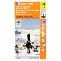
Ordnance Survey Survey Brecon Beacons Western Map: Ordnance Survey Brecon Beacons Western Map > Brecon Beacons Natinal park western areas map > The Essesntial map for...

Ordnance Survey Survey Brecon Beacons Eastern Map: Ordnance Survey Brecon Beacons Eastern Map > Brecon Beacons national park/ Parc Cenedlaethol Bannau Brycheiniog >...
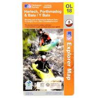
Ordnance Survey Survey Harlech, Porthmadog And Bala Map: Ordnance Survey Harlech, Porthmadog and Bala Map > Showing part of Snowdonia National Park -
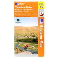
Ordnance Survey Survey Yorkshire Dales Map: Ordnance Survey Yorkshire Dales Map > Northern and Central areas Wensleydale and Swaledale -
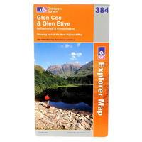
Ordnance Survey Survey Glen Coe Map: Ordnance Survey Glen Coe Map > Glen coe and Glen etive Ballachulish and kinlochleven > Showing part of the West...
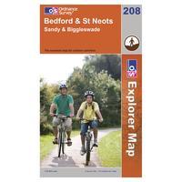
Ordnance Survey Explorer 208 Bedford & St Neots Map, Orange: With the 1:25000 scale Ordnance Survey Explorer 208 Bedford & St Neots Map you are sure to find all the best walks,...
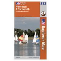
Ordnance Survey Explorer 232 Nuneaton & Tamworth Map, Orange: The Explorer 232 from Ordnance Survey is a detailed map and the essential companion for uncovering the secrets in the...
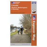
Ordnance Survey Explorer 272 Lincoln Map, Orange: Find all the best walks, routes, landmarks, points of interest and some terrific scenic drives with the 1:25000 scale...
