Choose Which Site You Want To See


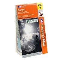
This Ordnance Survey Map of Exmoor is map sheet number OL9 and the perfect map for exploring the 1000km of footpaths and bridleways in the Exmoor national park
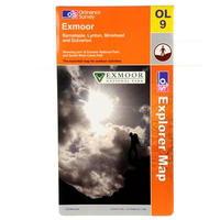
Ordnance Survey Exmoor Map >1:25 000 (4 cm to 1 km, 2½ inches to 1 mile) >1270 x 952 mm (134 x 227 mm folded) >Barnstaple, Lynton, Minehead and Dulverton showing part of Exmoor National Park and South West Coast Path -
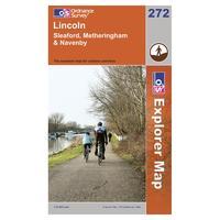
Find all the best walks, routes, landmarks, points of interest and some terrific scenic drives with the 1:25000 scale Ordnance Survey Explorer 272 Lincoln Map. The 1:25000 scale Ordnance Survey Explorer 272 Lincoln Map will give you all the information you need to make any visit to the beautiful...
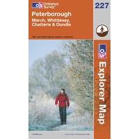
Find all the best walks, routes, landmarks, points of interest and some terrific scenic drives with the 1:25000 scale Ordnance Survey Explorer 227 Peterborough Map. The 1:25000 scale Ordnance Survey Explorer 227 Peterborough Map will give you all the information you need to make any visit to the...

This OS Explorer South Pennines Map is map sheet OL21 and covers the Pennines including Todmorden, Hebdem Bridge and Burnley

Find all the best walks, routes, landmarks, points of interest and some terrific scenic drives with the 1:25000 scale Ordnance Survey Explorer 272 Lincoln Map.

Find all the best walks, routes, landmarks, points of interest and some terrific scenic drives with the 1:25000 scale Ordnance Survey Explorer 227 Peterborough Map.
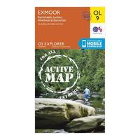
The essential map for outdoor activities in all weathers in Exmoor. The OS Explorer Active Map is the Ordnance Surveyâs most detailed folding map and is recommended for anyone enjoying outdoor activities including walking, horse riding and off-road cycling. This map now comes with a digital...
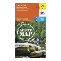
The essential map for outdoor activities in all weathers in Exmoor. The OS Explorer Active Map is the Ordnance Survey\'s most detailed folding map and is recommended for anyone enjoying outdoor activities including walking, horse riding and off-road cycling. This map now comes with a digital...
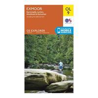
Discover and navigate your surroundings with the Explorer OL 9 from Ordnance Survey, a detailed map which covers the Exmoor National Park found between Barnstaple and Minehead. The National Park has 1000km of footpaths and bridleways and this map puts them at your fingertips.
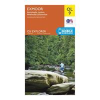
Discover and navigate your surroundings with the Explorer OL 9 from Ordnance Survey, a detailed map which covers the Exmoor National Park found between Barnstaple and Minehead. The National Park has 1000km of footpaths and bridleways and this map puts them at your fingertips. Colour...
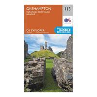
The essential map for outdoor activities in Okehampton. The OS Explorer Map is the Ordnance Survey\'s most detailed folding map and is recommended for anyone enjoying outdoor activities including walking, horse riding and off-road cycling. This map now comes with a digital version which you can...
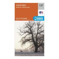
The essential map for outdoor activities in Ashford. The OS Explorer Map is the Ordnance Survey\'s most detailed folding map and is recommended for anyone enjoying outdoor activities including walking, horse riding and off-road cycling. This map now comes with a digital version which you can...
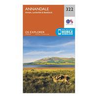
The essential map for outdoor activities in Annandale. The OS Explorer Map is the Ordnance Survey\'s most detailed folding map and is recommended for anyone enjoying outdoor activities including walking, horse riding and off-road cycling. This map now comes with a digital version which you can...

The essential map for outdoor activities in Edinburgh. The OS Explorer Map is the Ordnance Survey\'s most detailed folding map and is recommended for anyone enjoying outdoor activities including walking, horse riding and off-road cycling. This map now comes with a digital version which you can...
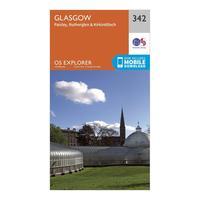
The essential map for outdoor activities in Glasgow. The OS Explorer Map is the Ordnance Survey\'s most detailed folding map and is recommended for anyone enjoying outdoor activities including walking, horse riding and off-road cycling. This map now comes with a digital version which you can...

The essential map for outdoor activities in Oswestry. The OS Explorer Map is the Ordnance Survey\'s most detailed folding map and is recommended for anyone enjoying outdoor activities including walking, horse riding and off-road cycling. This map now comes with a digital version which you can...

The essential map for outdoor activities in Norwich. The OS Explorer Map is the Ordnance Survey\'s most detailed folding map and is recommended for anyone enjoying outdoor activities including walking, horse riding and off-road cycling. This map now comes with a digital version which you can...

The essential map for outdoor activities in Peterborough. The OS Explorer Map is the Ordnance Survey\'s most detailed folding map and is recommended for anyone enjoying outdoor activities including walking, horse riding and off-road cycling. This map now comes with a digital version which you can...

The essential map for outdoor activities in Boston. The OS Explorer Map is the Ordnance Survey\'s most detailed folding map and is recommended for anyone enjoying outdoor activities including walking, horse riding and off-road cycling. This map now comes with a digital version which you can...

The essential map for outdoor activities in Grantham. The OS Explorer Map is the Ordnance Survey\'s most detailed folding map and is recommended for anyone enjoying outdoor activities including walking, horse riding and off-road cycling. This map now comes with a digital version which you can...

The essential map for outdoor activities in Doncaster. The OS Explorer Map is the Ordnance Survey\'s most detailed folding map and is recommended for anyone enjoying outdoor activities including walking, horse riding and off-road cycling. This map now comes with a digital version which you can...

The essential map for outdoor activities in Lincoln. The OS Explorer Map is the Ordnance Survey\'s most detailed folding map and is recommended for anyone enjoying outdoor activities including walking, horse riding and off-road cycling. This map now comes with a digital version which you can...

The essential map for outdoor activities in York. The OS Explorer Map is the Ordnance Survey\'s most detailed folding map and is recommended for anyone enjoying outdoor activities including walking, horse riding and off-road cycling. This map now comes with a digital version which you can download...

The essential map for outdoor activities in Leeds. The OS Explorer Map is the Ordnance Survey\'s most detailed folding map and is recommended for anyone enjoying outdoor activities including walking, horse riding and off-road cycling. This map now comes with a digital version which you can download...

The essential map for outdoor activities in Nidderdale. The OS Explorer Map is the Ordnance Survey\'s most detailed folding map and is recommended for anyone enjoying outdoor activities including walking, horse riding and off-road cycling. This map now comes with a digital version which you can...

The essential map for outdoor activities in Ardnamurchan. The OS Explorer Map is the Ordnance Survey\'s most detailed folding map and is recommended for anyone enjoying outdoor activities including walking, horse riding and off-road cycling. This map now comes with a digital version which you can...

The essential map for outdoor activities in Orkney. The OS Explorer Map is the Ordnance Survey\'s most detailed folding map and is recommended for anyone enjoying outdoor activities including walking, horse riding and off-road cycling. This map now comes with a digital version which you can...

The essential map for outdoor activities in Orkney - Sanday, Eday, North Ronaldsay and Stronsay. The OS Explorer Map is the Ordnance Survey\'s most detailed folding map and is recommended for anyone enjoying outdoor activities including walking, horse riding and off-road cycling. This map now comes...

The essential map for outdoor activities in Orkney - Westray, Papa Westray, Rousay, Egilsay and Wyre. The OS Explorer Map is the Ordnance Survey\'s most detailed folding map and is recommended for anyone enjoying outdoor activities including walking, horse riding and off-road cycling. This map now...

The essential map for outdoor activities in Carlisle. The OS Explorer Map is the Ordnance Survey\'s most detailed folding map and is recommended for anyone enjoying outdoor activities including walking, horse riding and off-road cycling. This map now comes with a digital version which you can...

The essential map for outdoor activities in Nottingham. The OS Explorer Map is the Ordnance Survey\'s most detailed folding map and is recommended for anyone enjoying outdoor activities including walking, horse riding and off-road cycling. This map now comes with a digital version which you can...
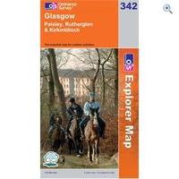
Ordnance Survey Map - Explorer- Glasgow:Created by the trusted brand of the Ordnance Survey, this series of map focuses on exploring the local area, perfect for walkers and cyclists to horseriders. Covering all areas through a map styl

The essential map for outdoor activities in Ardnamurchan. The OS Explorer Map is the Ordnance Surveyâs most detailed folding map and is recommended for anyone enjoying outdoor activities including walking, horse riding and off-road cycling. This map now comes with a digital version which you...

The essential map for outdoor activities in Oswestry. The OS Explorer Map is the Ordnance Surveyâs most detailed folding map and is recommended for anyone enjoying outdoor activities including walking, horse riding and off-road cycling. This map now comes with a digital version which you can...

The essential map for outdoor activities in Ashford. The OS Explorer Map is the Ordnance Surveyâs most detailed folding map and is recommended for anyone enjoying outdoor activities including walking, horse riding and off-road cycling. This map now comes with a digital version which you can...

The essential map for outdoor activities in Boston. The OS Explorer Map is the Ordnance Surveyâs most detailed folding map and is recommended for anyone enjoying outdoor activities including walking, horse riding and off-road cycling. This map now comes with a digital version which you can...

The essential map for outdoor activities in Orkney â Sanday, Eday, North Ronaldsay and Stronsay. The OS Explorer Map is the Ordnance Surveyâs most detailed folding map and is recommended for anyone enjoying outdoor activities including walking, horse riding and off-road cycling. This map...
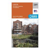
The essential map for outdoor activities in Leeds. The OS Explorer Map is the Ordnance Surveyâs most detailed folding map and is recommended for anyone enjoying outdoor activities including walking, horse riding and off-road cycling. This map now comes with a digital version which you can...
