Choose Which Site You Want To See



Explorer Ol 51 Active D Atholl Map: Map sheet number OL 50 in the detailed OS Explorer Map series covers part of the Cairngorms National Park and ten Munros. The new replacement for the previous OS Explorer map 394 for this area, this weatherproof active version also covers the Forest of Atholl and the Grampian Mountains.
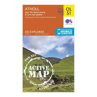
Ordnance Survey Explorer Ol 51 Active D Atholl Map, Orange: Map sheet number OL 50 in the detailed OS Explorer Map series covers part of the Cairngorms National Park and ten Munros. The new replacement for the previous OS Explorer map 394 for this area, this weatherproof active version also covers the Forest of Atholl and the Grampian Mountains. Colour Swatch:OrangeBrand:ORDNANCE SURVEYColour:Orange

Explorer Ol 51 Atholl Map: The essential map for outdoor activities in Atholl. The OS Explorer Map is the Ordnance Surveyâs most detailed folding map and is recommended for anyone enjoying outdoor activities including walking, horse riding and off-road cycling. This map now comes with a digital version which you can download to your smartphone or tablet.
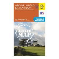
Explorer Ol 59 Active D Aboyne, Alford & Strathdon Map: Map sheet number OL 59 in the detailed OS Explorer Map series covers the eastern side of the Cairngorms National Park, the River don and the eastern Grampians. The new replacement for the previous OS Explorer map 405 for this area, this weatherproof active version is great for exploring the peaks surrounding Strathdon including Mona Gowan (749m) and Carn Mor (578m).

Explorer Ol 52 Active D Glen Shee & Braemar Map: Map sheet number OL 52 in the detailed OS Explorer Map series is the ideal companion for those looking to explore an area which is home to Scotlandâs largest Ski area and part of the Cairngorms National Park including twelve Munros. The new replacement for the previous OS Explorer map 387 for this area, this weatherproof active version also covers the Cateran Trail and the Village of Braemar, known for the Braemar Gathering.
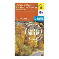
Explorer Ol 55 Active D Loch Laggan & Creag Meagaidh: Map sheet number OL 55 in the detailed OS Explorer Map series covers part of the Cairngorms National Park, Corrieyairick Forest and six Munros. The new replacement for the previous OS Explorer map 401 for this area, this weatherproof active version is great for exploring this stunning area which is made up of Munros, Lochs and rivers.
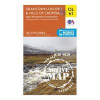
Explorer Ol 61 Active D Grantown-on-spey & Hills Of Cromdale Map: Map sheet number OL 61 in the detailed OS Explorer Map series covers the northern part of the Cairngorms National Park and the area around Grantown-on-Sprey and Bridge of Avon. The new replacement for the previous OS Explorer map 419 for this area, this weatherproof active version is great for exploring the Dava Way and Speyside Way, and even allows you to navigate your way to the remote Carn Kitty (521m).
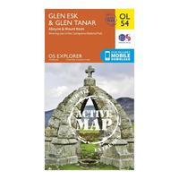
Explorer Ol 54 Active D Glen Esk & Glen Tanar: Map sheet number OL 54 in the detailed OS Explorer Map series covers part of the Cairngorms National Park, the Deeside Way and Mount Keen. The new replacement for the previous OS Explorer map 395 for this area, this weatherproof active version will help you to reach the Trig point at the peak of Mount Keen at 939m. The area around Glen Esk and Glen Tanar is an area best explored on foot.

Explorer Ol 60 Active D Lochindorb, Grantown-on-sprey & Carrbridge Map: Map sheet number OL 60 in the detailed OS Explorer Map series covers the north-western area of the Cairngorms National Park, Strathdearn and the River Findhorn. The new replacement for the previous OS Explorer map 418 for this area, this weatherproof active version is great for exploring the Dava Way and Speyside Way, Lochindorb and Loch Moy.
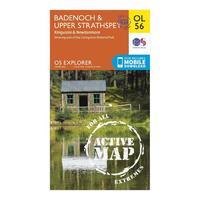
Explorer Ol 56 Active D Badenoch & Upper Strathspey Map: Map sheet number OL 56 in the detailed OS Explorer Map series covers Badenoch, Upper Strathspey and Kingussie. The new replacement for the previous OS Explorer map 402 for this area, this weatherproof active version is great for exploring the Cairngorn Mountains and the Monadhliath Mountains.
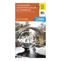
Ordnance Survey Explorer Ol 60 Active D Lochindorb, Grantown-on-sprey & Carrbridge Map, Orange: Map sheet number OL 60 in the detailed OS Explorer Map series covers the north-western area of the Cairngorms National Park, Strathdearn and the River Findhorn. The new replacement for the previous OS Explorer map 418 for this area, this weatherproof active version is great for exploring the Dava Way and Speyside Way, Lochindorb and Loch Moy. Colour Swatch:OrangeBrand:ORDNANCE SURVEYColour:Orange
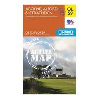
Ordnance Survey Explorer Ol 59 Active D Aboyne, Alford & Strathdon Map, Orange: Map sheet number OL 59 in the detailed OS Explorer Map series covers the eastern side of the Cairngorms National Park, the River don and the eastern Grampians. The new replacement for the previous OS Explorer map 405 for this area, this weatherproof active version is great for exploring the peaks surrounding Strathdon including Mona Gowan (749m) and Carn Mor (578m).Colour Swatch:OrangeBrand:ORDNANCE SURVEYColour:Orange
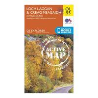
Ordnance Survey Explorer Ol 55 Active D Loch Laggan & Creag Meagaidh, Orange: Map sheet number OL 55 in the detailed OS Explorer Map series covers part of the Cairngorms National Park, Corrieyairick Forest and six Munros. The new replacement for the previous OS Explorer map 401 for this area, this weatherproof active version is great for exploring this stunning area which is made up of Munros, Lochs and rivers. Colour Swatch:OrangeBrand:ORDNANCE SURVEYColour:Orange
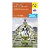
Ordnance Survey Explorer Ol 54 Active D Glen Esk & Glen Tanar, Orange: Map sheet number OL 54 in the detailed OS Explorer Map series covers part of the Cairngorms National Park, the Deeside Way and Mount Keen. The new replacement for the previous OS Explorer map 395 for this area, this weatherproof active version will help you to reach the Trig point at the peak of Mount Keen at 939m. The area around Glen Esk and Glen Tanar is an area best explored on foot. Colour Swatch:OrangeBrand:ORDNANCE SURVEYColour:Orange
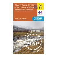
Ordnance Survey Explorer Ol 61 Active D Grantown-on-spey & Hills Of Cromdale Map, Orange: Map sheet number OL 61 in the detailed OS Explorer Map series covers the northern part of the Cairngorms National Park and the area around Grantown-on-Sprey and Bridge of Avon. The new replacement for the previous OS Explorer map 419 for this area, this weatherproof active version is great for exploring the Dava Way and Speyside Way, and even allows you to navigate your way to the remote Carn Kitty (521m).Colour Swatch:OrangeBrand:ORDNANCE SURVEYColour:Orange
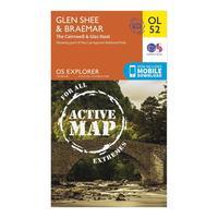
Ordnance Survey Explorer Ol 52 Active D Glen Shee & Braemar Map, Orange: Map sheet number OL 52 in the detailed OS Explorer Map series is the ideal companion for those looking to explore an area which is home to Scotland\'s largest Ski area and part of the Cairngorms National Park including twelve Munros. The new replacement for the previous OS Explorer map 387 for this area, this weatherproof active version also covers the Cateran Trail and the Village of Braemar, known for the Braemar Gathering. Colour Swatch:OrangeBrand:ORDNANCE...
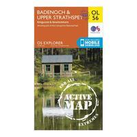
Ordnance Survey Explorer Ol 56 Active D Badenoch & Upper Strathspey Map, Orange: Map sheet number OL 56 in the detailed OS Explorer Map series covers Badenoch, Upper Strathspey and Kingussie. The new replacement for the previous OS Explorer map 402 for this area, this weatherproof active version is great for exploring the Cairngorn Mountains and the Monadhliath Mountains. Colour Swatch:OrangeBrand:ORDNANCE SURVEYColour:Orange

Explorer Ol 34 Active D Crawley & Horsham Map: Map sheet number OL 34 in the detailed OS Explorer Map series covers Horsham, Cranleigh, Crawley and Billinghurst. The new replacement for the OS Explorer map 134 for this area, highlights of the OL 34 map include the River Ouse, River Arun and River Adur, and corners of the Sussex Downs and South Downs.

Explorer Ol 3 Active D Meon Valley Map: Map sheet number OL 3 in the detailed OS Explorer weatherproof Map series gives you the tools to discover the wealth of naval history that Portsmouth offers. The new replacement for the Explorer 119 map, the OL 3 covers the same area from Portsmouth stretching north through Fareham, Waterlooville, Droxford and Owslebury. The map also takes in a south westerly section of the South Downs National Park.
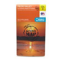
Ordnance Survey Explorer Ol 3 Active D Meon Valley Map, Orange: Map sheet number OL 3 in the detailed OS Explorer weatherproof Map series gives you the tools to discover the wealth of naval history that Portsmouth offers. The new replacement for the Explorer 119 map, the OL 3 covers the same area from Portsmouth stretching north through Fareham, Waterlooville, Droxford and Owslebury. The map also takes in a south westerly section of the South Downs National Park. Colour Swatch:OrangeBrand:ORDNANCE SURVEYColour:Orange