Choose Which Site You Want To See


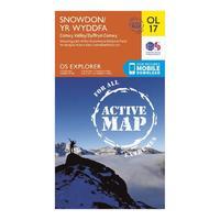
Active Explorer Ol 17 Snowdon Map: Looking to uncover the secrets of Snowdon and the Snowdonia National Park? Then the Explorer OL 17 from Ordnance Survey is the map for you. This detailed map covers this famous and popular area which sees many people set their sights on the highest mountain in Wales - Snowdon. The map shows size well mapped routes to the summit and is part of the brandâs Active range which allows you to use the map even in bad weather.
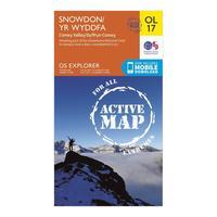
Ordnance Survey Active Explorer Ol 17 Snowdon Map, Orange: Looking to uncover the secrets of Snowdon and the Snowdonia National Park? Then the Explorer OL 17 from Ordnance Survey is the map for you. This detailed map covers this famous and popular area which sees many people set their sights on the highest mountain in Wales - Snowdon. The map shows size well mapped routes to the summit and is part of the brand\'s Active range which allows you to use the map even in bad weather. Colour Swatch:OrangeBrand:ORDNANCE SURVEYColour:Orange
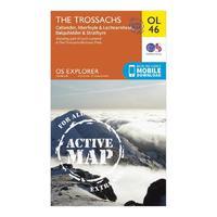
Active Explorer Ol 46 The Trossachs Map: The Active Explorer OL 46 is a detailed weatherproof map which covers an area in the north east of the Loch Lomond and The Trossachs National Park, an area known for its stunning landscapes and Munros. A replacement for the previous OS Explorer map 365 for this area, the Explorer OL 46 covers Ben Tulaichean, Ben More, Stob Binnein, Stuc aâChroin and Ben Vorlich.
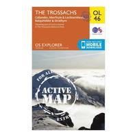
Ordnance Survey Active Explorer Ol 46 The Trossachs Map, Assorted: The Active Explorer OL 46 is a detailed weatherproof map which covers an area in the north east of the Loch Lomond and The Trossachs National Park, an area known for its stunning landscapes and Munros. A replacement for the previous OS Explorer map 365 for this area, the Explorer OL 46 covers Ben Tulaichean, Ben More, Stob Binnein, Stuc a\'Chroin and Ben Vorlich. Colour Swatch:AssortedBrand:ORDNANCE SURVEYColour:Assorted
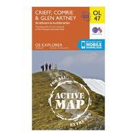
Active Explorer Ol 47 Crieff, Comrie & Glen Artney Map: The Active Explorer OL 47 is a detailed weatherproof map which covers Crieff, Comrie and the surrounding areas including the beautiful town of Auchterarder. A replacement for the previous OS Explorer map 368 for this area, the OL 47 allows you to navigate your way around the eastern part of the Loch Lomond & The Trossachs National Park and even covers two Munros: Ben Vorlich and Stuc aâChroin.
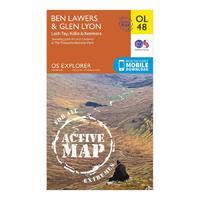
Active Explorer Ol 48 Ben Lawers & Glen Lyon Map: The Active Explorer OL 48 is a detailed weatherproof map which covers a wide area from Loch Lyon to Loch Tay. A replacement for the previous OS Explorer map 378 for this area, the OL 48 allows you to navigate your way around many of the Monros and Tay Forest Park, part of Loch Lomond & The Trossachs National Park.
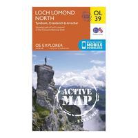
Active Explorer Ol 39 Loch Lomond North Map: The Active Explorer OL 39 is a detailed weatherproof map which covers the northern area of Loch Lomond and the towns of Tyndrum, Ardlui, Crainlarich and Arrochar. A replacement for the previous OS Explorer map 364 for this area, the OL 39 allows you to indulge in the stunning scenery and covers one of the most popular Munros, Ben Lomond.
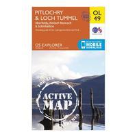
Active Explorer Ol 49 Pitlochry & Loch Tummel Map: The Active Explorer OL 49 is a detailed weatherproof map which shows Loch Tummel, eastern Loch Rannoch and the towns which surround including Pitlochry, Aberfeldy and Kinloch Rannoch. A replacement for the previous OS Explorer map 386 for this area, the OL 49 covers a number of Munros including Schiehallion at 1083m and one of the most visited viewpoints in the region, âQueens Viewâ.
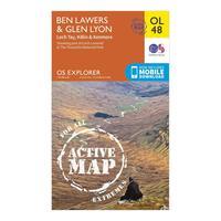
Ordnance Survey Active Explorer Ol 48 Ben Lawers & Glen Lyon Map, Orange: The Active Explorer OL 48 is a detailed weatherproof map which covers a wide area from Loch Lyon to Loch Tay. A replacement for the previous OS Explorer map 378 for this area, the OL 48 allows you to navigate your way around many of the Monros and Tay Forest Park, part of Loch Lomond & The Trossachs National Park. Colour Swatch:OrangeBrand:ORDNANCE SURVEYColour:Orange
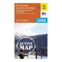
Ordnance Survey Active Explorer Ol 49 Pitlochry & Loch Tummel Map, Orange: The Active Explorer OL 49 is a detailed weatherproof map which shows Loch Tummel, eastern Loch Rannoch and the towns which surround including Pitlochry, Aberfeldy and Kinloch Rannoch. A replacement for the previous OS Explorer map 386 for this area, the OL 49 covers a number of Munros including Schiehallion at 1083m and one of the most visited viewpoints in the region, \'Queens View\'.Colour Swatch:OrangeBrand:ORDNANCE SURVEYColour:Orange
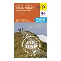
Ordnance Survey Active Explorer Ol 47 Crieff, Comrie & Glen Artney Map, Orange: The Active Explorer OL 47 is a detailed weatherproof map which covers Crieff, Comrie and the surrounding areas including the beautiful town of Auchterarder. A replacement for the previous OS Explorer map 368 for this area, the OL 47 allows you to navigate your way around the eastern part of the Loch Lomond & The Trossachs National Park and even covers two Munros: Ben Vorlich and Stuc a\'Chroin. Colour Swatch:OrangeBrand:ORDNANCE SURVEYColour:Orange
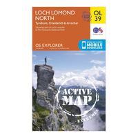
Ordnance Survey Active Explorer Ol 39 Loch Lomond North Map, Orange: The Active Explorer OL 39 is a detailed weatherproof map which covers the northern area of Loch Lomond and the towns of Tyndrum, Ardlui, Crainlarich and Arrochar. A replacement for the previous OS Explorer map 364 for this area, the OL 39 allows you to indulge in the stunning scenery and covers one of the most popular Munros, Ben Lomond. Colour Swatch:OrangeBrand:ORDNANCE SURVEYColour:Orange
Active Explorer Ol 37 Cowal East Map: The Active Explorer OL 37 is a detailed weatherproof map which covers Cowal East, Dunoon and Inveraray, and replaces the previous OS Explorer map 363 for this area. Covering a large section of Loch Lomond and The Trossachs National Park, this map allows you to discover the many trails and points of interest which make this area worth exploring.
Ordnance Survey Active Explorer Ol 37 Cowal East Map, Orange: The Active Explorer OL 37 is a detailed weatherproof map which covers Cowal East, Dunoon and Inveraray, and replaces the previous OS Explorer map 363 for this area. Covering a large section of Loch Lomond and The Trossachs National Park, this map allows you to discover the many trails and points of interest which make this area worth exploring. Colour Swatch:OrangeBrand:ORDNANCE SURVEYColour:Orange
Active Explorer Ol 24 The Peak District (white Peak Area) Map: Your essential weatherproof guide to The Peak District, the Active Explorer OL 24 from Ordnance Survey is a detailed map which covers the White Peak area including Buxton, Bakewell, Matlock and Dove Dale. Popular with ramblers, climbers and bikers The Peak District is littered with quaint villages offering great food, incredible culture and treasures there for you to find.
Ordnance Survey Active Explorer Ol 24 The Peak District (white Peak Area) Map, Orange: Your essential weatherproof guide to The Peak District, the Active Explorer OL 24 from Ordnance Survey is a detailed map which covers the White Peak area including Buxton, Bakewell, Matlock and Dove Dale. Popular with ramblers, climbers and bikers The Peak District is littered with quaint villages offering great food, incredible culture and treasures there for you to find. Colour Swatch:OrangeBrand:ORDNANCE SURVEYColour:Orange

Ol 17 Explorer Snowdon Map: Map sheet number OL17 in the OS Explorer map series is the ideal map for exploring the mountain scenery in Snowdon. This area, famous for its fantastic walking routes, is home to the highest mountain in Wales. Take one of the six well mapped routes to the summit of Mount Snowdon and enjoy the views.
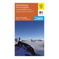
Ordnance Survey Ol 17 Explorer Snowdon Map, Orange: Map sheet number OL17 in the OS Explorer map series is the ideal map for exploring the mountain scenery in Snowdon. This area, famous for its fantastic walking routes, is home to the highest mountain in Wales. Take one of the six well mapped routes to the summit of Mount Snowdon and enjoy the views. Colour Swatch:OrangeBrand:ORDNANCE SURVEYColour:Orange
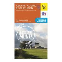
Explorer Ol 59 Active D Aboyne, Alford & Strathdon Map: Map sheet number OL 59 in the detailed OS Explorer Map series covers the eastern side of the Cairngorms National Park, the River don and the eastern Grampians. The new replacement for the previous OS Explorer map 405 for this area, this weatherproof active version is great for exploring the peaks surrounding Strathdon including Mona Gowan (749m) and Carn Mor (578m).

Explorer Ol 52 Active D Glen Shee & Braemar Map: Map sheet number OL 52 in the detailed OS Explorer Map series is the ideal companion for those looking to explore an area which is home to Scotlandâs largest Ski area and part of the Cairngorms National Park including twelve Munros. The new replacement for the previous OS Explorer map 387 for this area, this weatherproof active version also covers the Cateran Trail and the Village of Braemar, known for the Braemar Gathering.