Choose Which Site You Want To See



Ol 17 Explorer Snowdon Map: Map sheet number OL17 in the OS Explorer map series is the ideal map for exploring the mountain scenery in Snowdon. This area, famous for its fantastic walking routes, is home to the highest mountain in Wales. Take one of the six well mapped routes to the summit of Mount Snowdon and enjoy the views.
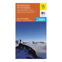
Ordnance Survey Ol 17 Explorer Snowdon Map, Orange: Map sheet number OL17 in the OS Explorer map series is the ideal map for exploring the mountain scenery in Snowdon. This area, famous for its fantastic walking routes, is home to the highest mountain in Wales. Take one of the six well mapped routes to the summit of Mount Snowdon and enjoy the views. Colour Swatch:OrangeBrand:ORDNANCE SURVEYColour:Orange

Snowdon - Os Explorer Active Map Sheet Number Ol17: Buy Snowdon OS Explorer Map from the official Ordnance Survey Map Shop & get free delivery too.
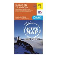
Active Explorer Ol 17 Snowdon Map: Looking to uncover the secrets of Snowdon and the Snowdonia National Park? Then the Explorer OL 17 from Ordnance Survey is the map for you. This detailed map covers this famous and popular area which sees many people set their sights on the highest mountain in Wales - Snowdon. The map shows size well mapped routes to the summit and is part of the brandâs Active range which allows you to use the map even in bad weather.
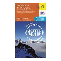
Ordnance Survey Active Explorer Ol 17 Snowdon Map, Orange: Looking to uncover the secrets of Snowdon and the Snowdonia National Park? Then the Explorer OL 17 from Ordnance Survey is the map for you. This detailed map covers this famous and popular area which sees many people set their sights on the highest mountain in Wales - Snowdon. The map shows size well mapped routes to the summit and is part of the brand\'s Active range which allows you to use the map even in bad weather. Colour Swatch:OrangeBrand:ORDNANCE SURVEYColour:Orange

Explorer Snowdonia Snowdon Map: This Ordnance Survey Map of Snowdon Yr Wyddfa is map sheet number OL17 and is the perfect map for exploring Snowdon

Explorer Ol 35 North Pembrokeshire Map: Uncover the secrets of North Pembrokeshire on the west coast of Wales with the Explorer OL 36, a detailed map from Ordnance Survey which covers the spectacular Pembrokeshire Coast National Park. Highlights of this stunning area include St Davids, Cardigan, Goodwick and Fishguard.
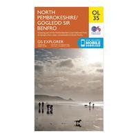
Ordnance Survey Explorer Ol 35 North Pembrokeshire Map, Orange: Uncover the secrets of North Pembrokeshire on the west coast of Wales with the Explorer OL 36, a detailed map from Ordnance Survey which covers the spectacular Pembrokeshire Coast National Park. Highlights of this stunning area include St Davids, Cardigan, Goodwick and Fishguard. Colour Swatch:OrangeBrand:ORDNANCE SURVEYColour:Orange

Explorer Active Ol 22 New Forest Map: The essential map for outdoor activities in all weathers in New Forest. The OS Explorer Active Map is the Ordnance Surveyâs most detailed folding map and is recommended for anyone enjoying outdoor activities including walking, horse riding and off-road cycling. This map now comes with a digital version which you can download to your smartphone or tablet.

Explorer Active Ol 36 South Pembrokeshire Map: The essential map for outdoor activities in all weathers in South Pembrokeshire. The OS Explorer Active Map is the Ordnance Surveyâs most detailed folding map and is recommended for anyone enjoying outdoor activities including walking, horse riding and off-road cycling. This map now comes with a digital version which you can download to your smartphone or tablet.

Explorer Active Ol 10 Arundel & Pulborough Map: The essential map for outdoor activities in all weathers in Arundel & Pulborough. The OS Explorer Active Map is the Ordnance Surveyâs most detailed folding map and is recommended for anyone enjoying outdoor activities including walking, horse riding and off-road cycling. This map now comes with a digital version which you can download to your smartphone or tablet.

Explorer Active Ol 11 Brighton & Hove Map: The essential map for outdoor activities in all weathers in Brighton and Hove. The OS Explorer Active Map is the Ordnance Surveyâs most detailed folding map and is recommended for anyone enjoying outdoor activities including walking, horse riding and off-road cycling. This map now comes with a digital version which you can download to your smartphone or tablet.
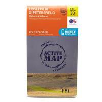
Explorer Active Ol 33 Haslemere & Petersfield Map: The essential map for outdoor activities in all weathers in Haslemere and Petersfield. The OS Explorer Active Map is the Ordnance Surveyâs most detailed folding map and is recommended for anyone enjoying outdoor activities including walking, horse riding and off-road cycling. This map now comes with a digital version which you can download to your smartphone or tablet.
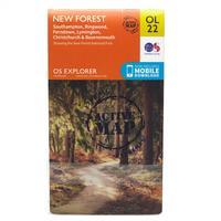
Ordnance Survey Explorer Active Ol 22 New Forest Map, Orange: The essential map for outdoor activities in all weathers in New Forest. The OS Explorer Active Map is the Ordnance Survey\'s most detailed folding map and is recommended for anyone enjoying outdoor activities including walking, horse riding and off-road cycling. This map now comes with a digital version which you can download to your smartphone or tablet. Colour Swatch:OrangeBrand:ORDNANCE SURVEYColour:Orange

Ordnance Survey Explorer Active Ol 36 South Pembrokeshire Map, Orange: The essential map for outdoor activities in all weathers in The Cheviot Hills. The OS Explorer Active Map is the Ordnance Survey\'s most detailed folding map and is recommended for anyone enjoying outdoor activities including walking, horse riding and off-road cycling. This map now comes with a digital version which you can download to your smartphone or tablet. Colour Swatch:OrangeBrand:ORDNANCE SURVEYColour:Orange

Ordnance Survey Explorer Active Ol 11 Brighton & Hove Map, Orange: The essential map for outdoor activities in all weathers in Brighton and Hove. The OS Explorer Active Map is the Ordnance Survey\'s most detailed folding map and is recommended for anyone enjoying outdoor activities including walking, horse riding and off-road cycling. This map now comes with a digital version which you can download to your smartphone or tablet. Colour Swatch:OrangeBrand:ORDNANCE SURVEYColour:Orange
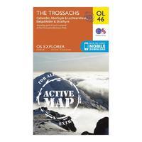
Active Explorer Ol 46 The Trossachs Map: The Active Explorer OL 46 is a detailed weatherproof map which covers an area in the north east of the Loch Lomond and The Trossachs National Park, an area known for its stunning landscapes and Munros. A replacement for the previous OS Explorer map 365 for this area, the Explorer OL 46 covers Ben Tulaichean, Ben More, Stob Binnein, Stuc aâChroin and Ben Vorlich.
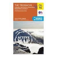
Ordnance Survey Active Explorer Ol 46 The Trossachs Map, Assorted: The Active Explorer OL 46 is a detailed weatherproof map which covers an area in the north east of the Loch Lomond and The Trossachs National Park, an area known for its stunning landscapes and Munros. A replacement for the previous OS Explorer map 365 for this area, the Explorer OL 46 covers Ben Tulaichean, Ben More, Stob Binnein, Stuc a\'Chroin and Ben Vorlich. Colour Swatch:AssortedBrand:ORDNANCE SURVEYColour:Assorted
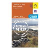
Active Explorer Ol 37 Cowal East Map: The Active Explorer OL 37 is a detailed weatherproof map which covers Cowal East, Dunoon and Inveraray, and replaces the previous OS Explorer map 363 for this area. Covering a large section of Loch Lomond and The Trossachs National Park, this map allows you to discover the many trails and points of interest which make this area worth exploring.
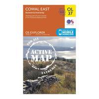
Ordnance Survey Active Explorer Ol 37 Cowal East Map, Orange: The Active Explorer OL 37 is a detailed weatherproof map which covers Cowal East, Dunoon and Inveraray, and replaces the previous OS Explorer map 363 for this area. Covering a large section of Loch Lomond and The Trossachs National Park, this map allows you to discover the many trails and points of interest which make this area worth exploring. Colour Swatch:OrangeBrand:ORDNANCE SURVEYColour:Orange